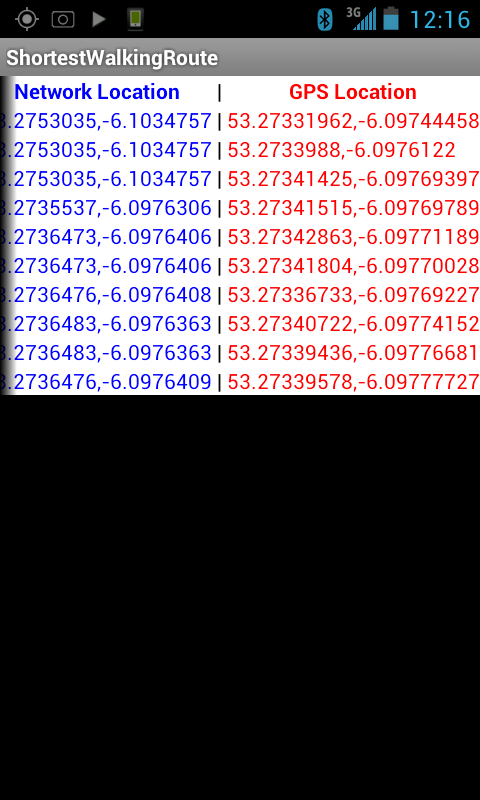
The second iteration of Shortest Walking Route is designed to gather and display Network Location and GPS Locaton

data for 5 minutes.
The screenshot here shows the application displaying location data captured while I was standing still, previously when I had tested the application while still it had poured out pages and pages of coordinates.
I was worried something was broken until I realised that the application was showing less data because it had such a firm GPS fix on me that it knew I wasn’t moving. When I had tested it before I had been in a building and it’s fixes had been sporadic enough that they could be movement.
Version 0.0.2
Note:
This version only updates it’s display when a GPS Location fix comes in, so Network Location fixes will not display on their own.
It’s timer runs by checking if it has run for five minutes yet every time a GPS Location fix arrives, so if it cannot get a fix it will continue to run past 5 minutes until it does.
What’s Next:
Firstly I would like to look at some of the other things that the GPS system gives you, like accuracy, and direction.
Secondly I will also break down the data and look at the difference between fixes instead of at the fixes themselves.
Thirdly I will figure out a way to roll the Network and GPS Location into one usable variable.

 February 5th, 2012
 Posted in